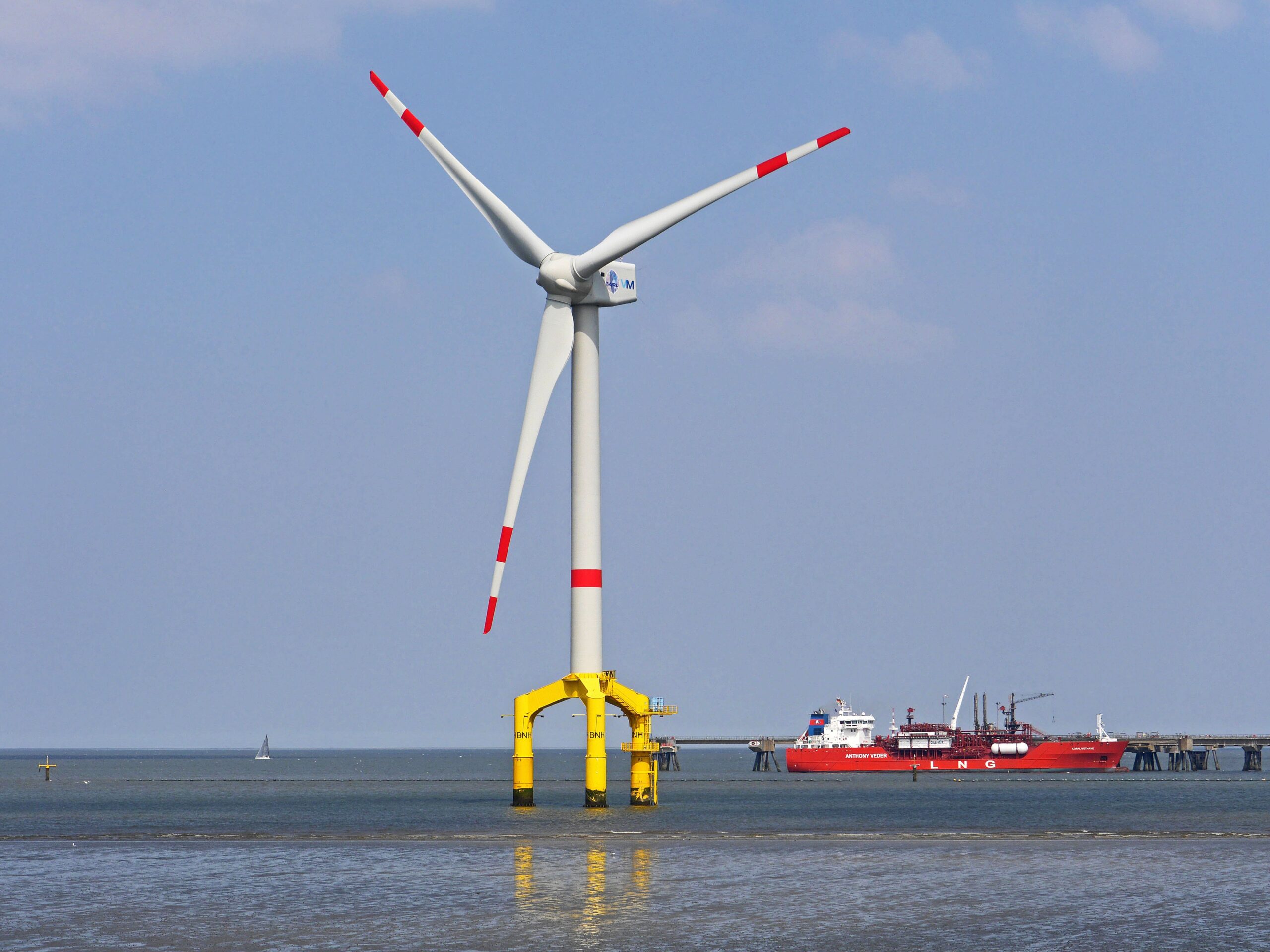
In a rapidly evolving world where offshore assets are ever expanding, the stakes have never been higher for the safety and security of our critical maritime infrastructure. All coastal nations rely heavily on a host of critical assets that demand safety, security, and protection: Offshore oil wells, towering wind turbines, vital pipelines and communications cables, aquaculture and protected marine sanctuaries, navigation aids such as solar-powered buoys and beacons, each a lifeline to our interconnected global economy. Yet, lurking over the horizon are threats that can disrupt and even devastate these essential installations. From natural and accidental disasters to the ever-looming specter of terrorism and criminal activity, the need for unwavering protection is paramount. Navies and Coast Guards are in relentless pursuit of reliable, over-the-horizon maritime domain awareness, an essential capability that will not only save lives but also combat the relentless threats that loom over our precious resources and assets.
Recent attacks against the Nord Stream gas pipeline in the Baltic and other offshore energy infrastructure have triggered action from countries around the globe. In Poland, the Council of Ministers has adopted a draft amendment to the Act on the Protection of Shipping and Sea Ports enabling the Polish military to respond to terrorist attacks on ocean-based properties. “Maritime infrastructure is even more vulnerable than inland infrastructure,” according to Jaroslaw Cislak, editor of Defense 24.pl. “Recent events, i.e., the war in Ukraine, as well as explosions at the Nord Stream 2 offshore gas pipeline, have increased interest in the protection and defense of… maritime port, offshore and underwater infrastructure.” (May 5, 2023).
General Wiermann in charge of Underwater Security for NATO describes the challenge this way: “By critical infrastructure I mean pipelines that transport gas or oil, but also cables used to transmit data and power lines. Critical infrastructure is growing every day. Europe is investing in renewable energy, in wind farms in the North Sea as well as in the Baltic Sea. …Worldwide, there are 1.3 million km of data cables on the seabed and more and more every day. 95% of international information transmission takes place via underwater cables. Around 10 billion financial transactions are processed through these networks every day” (Onet, May 13, 2023).
Incidents involving surface vessels that occur beyond about 20 miles from shore cannot be detected or prevented using traditional shore-based radar. Satellite AIS and other-space-based data is intermittent and valuable forensic investigations but cannot provide real-time or predictive awareness of threats.
To protect critical offshore assets, maritime authorities must maintain an operating picture of vessel activity up to 200 nautical miles from the shore, an area designated by the UN Committee on the Laws of the Sea as a sovereign nation’s Exclusive Economic Zone (EEZ) territorial sea, within which a coastal nation has jurisdiction over both living and nonliving resources, as well as the responsibility for safety, search and rescue. Knowing what is happening in off-shore waters is referred to as Maritime Domain Awareness (MDA). Despite their high cost and maintenance, patrol aircraft and surface vessels are the tools most often used today for MDA.
Today, high frequency surface wave radar (HFSWR) has matured to the point where it can overcome the limitations of traditional MDA approaches and provide persistent monitoring of an entire exclusive economic zone to protect critical infrastructure.
HFSWR, such as Maerospace’s PASE® over-the-horizon technology extends beyond coastal microwave radar systems by operating at a frequency that bends around the conducting surface of the ocean and enables detection and location of objects up to 200 nautical miles from the shore.
Such a system can provide continuous monitoring of the full Exclusive Economic Zone (EEZ), within which a coastal nation has jurisdiction over both living and nonliving resources, as well as the responsibility for safety, search and rescue. With active persistent 24×7 coverage, this over-the-horizon radar detects and tracks vessels at the furthest reaches of a nation’s EEZ. One radar installation covers 41,000 square miles, every day and every hour, making HFSWR radar an ideal technology for monitoring and securing a host of offshore installations.
The value of HFSWR radar in protecting offshore infrastructure lies in its ability to provide early warning of any potential threats, giving decision makers the “gift of time,” to validate vessel identities and determine the best course of interdiction action. Even in adverse weather conditions, HFSWR can track ships approaching an offshore oil rig or wind farm. Early warning allows operators to take preventive measures such as contacting the vessel or alerting security forces to intercept the ship. This is especially effective when bad actors have turned off their AIS and are using cloud cover to hide from visible detection.
The most effective surveillance solutions leverage a “layered approach” with multiple sources of maritime domain data combined into an integrated visualization system. “A good system supports strategic planning and the use of available resources,” said Krystian Chmielewski of Kongsberg Defense & Aerospace in the Republic.pl, “to integrate data from a wide variety of sources, such as radar, visible and infrared cameras, satellites and undersea sensors.” (Oct 12, 2022). Suspicious activity can be quickly determined by comparison of multiple maritime domain awareness data sources. Beyond the line of sight from shore to the horizon, only HFSWR can provide continuous vessel monitoring for the entire EEZ area of interest.
In a crowded ocean environment, it can be a challenge to separate normally behaving vessels from suspicious ones. By combining HFSWR vessel tracks with Satellite-AIS vessel identifications in a command-and-control screen and time synchronizing the two sources, the operator can hide or ignore vessels with a radar track that correlates with an AIS track and is sailing as expected. The remaining radar tracks are no longer “hiding in plain sight” and decision makers can decide whether and how to respond. Possible actions are interdiction at sea, inspecting the vessel upon arrival in port, or documenting the activity for future legal or diplomatic action.
With additional real-time analytics, even more value can be extracted from these two critical systems. Additional suspicious behavior that can be detected includes highlighting vessels who have “gone dark” by turning off their AIS transponder and “doppelgangers” (ships that transmit the same MMSI as other vessels within their AIS signals). Doppelgangers are a key threat in the EEZ because a ship can be deliberately hidden from satellite AIS, even if they are transmitting their collision avoidance AIS normally. An AIS doppelganger can be easily transmitted to the satellite AIS constellations from anywhere in the world with a false position. A standard AIS display will delete the track location from the true position and place the marker in the doppelganger’s position, making it “disappear” from the operator’s display. Maerospace has patented technology for detecting and tracking doppelgangers in this situation.
By layering data sources in a C4ISR screen, the clutter of ships is quickly reduced to “vessels of interest” worthy of investigation and if necessary, interdiction, saving the high cost of air and/or vessel patrols. According to NATO General Wiermann, “If we have specific suspicions, we must quickly investigate whether critical infrastructure has been breached in a given place. …We must realize this at the right time and, if necessary, defuse the (explosive) loads to prevent damage. That is the goal we are striving for” (Onet, May 13, 2023). Only a combination of multiple data sources displayed in a layered visualization screen on a C4ISR system provides the insight to raise and evaluate suspicions in a timely fashion.
In addition to its threat detection capabilities, HFSWR can also be used to monitor and control the movement of ships through shipping lanes and around offshore installations, an essential capability to ensure the safety and security of the offshore infrastructure and the people working on it. Long-range monitoring of strange or inappropriate sailing can deter piracy and smuggling operations.
Maerospace PASE® HFSWR radars are the most cost effective and persistent method to monitor a country’s full EEZ. With its patented dynamic spectrum management to automatically adjust its frequency of operation to avoid RF interference and its Virtual Aperture Antenna array to extend radar performance while requiring less land than competing systems, this radar system is the only product that uses simultaneous dual frequency operations for better tracking in clutter-limited environments. Designed for round-the-clock 24-hour autonomous or remote operations, PASE is built with a modern API data output, making it easy to adapt to C2 and C4ISR systems. In combination with S-AIS, data analytics and the other components of a pervasive maritime domain monitoring solution, PASE provides the constant surveillance nations need to ensure their offshore assets are watched consistently, effectively, and efficiently.
About Maerospace
Transforming the awareness, assessment, and response to critical economic, environmental, and human threats in national maritime domains