Maerospace is pleased to support LOOKNorth in the presentation of combined Canadian technologies for the Andoya Campaign, a “live” demonstration of the Integrated Remote Sensing for the Arctic (IRSA) system developed by the IRSA Development Group (IDG). This opportunity provides a showcase of ground-breaking technologies related to Arctic remote sensing and communications before an international audience of defence and security organizations. Among the campaign’s key objectives is to demonstrate a remote sensing maritime surveillance solution focused on enhanced dark target detection.
IRSA is a dual-use system of systems optimized for remote sensing data acquisition and decision support analytics, and communications for the Arctic. IRSA integrates satellite platforms, remotely piloted aircraft systems (RPAS), high and medium altitude long-endurance platforms, and unmanned sea-surface vessels to offer a complete maritime surveillance platform. For this IRSA solution, LookNorth gathered technologies that augment and extend the existing systems currently available. For example, the recognition and highlight of vessels that have stopped transmitting their AIS signal, or “dark target detection” using remote sensing satellites and satellite automatic identification systems is part of existing solutions. Maerospace’s data tools apply Artificial Intelligence/Machine Learning to emphasize those targets that are the highest risk or are acting in an unexpected or suspicious manner.
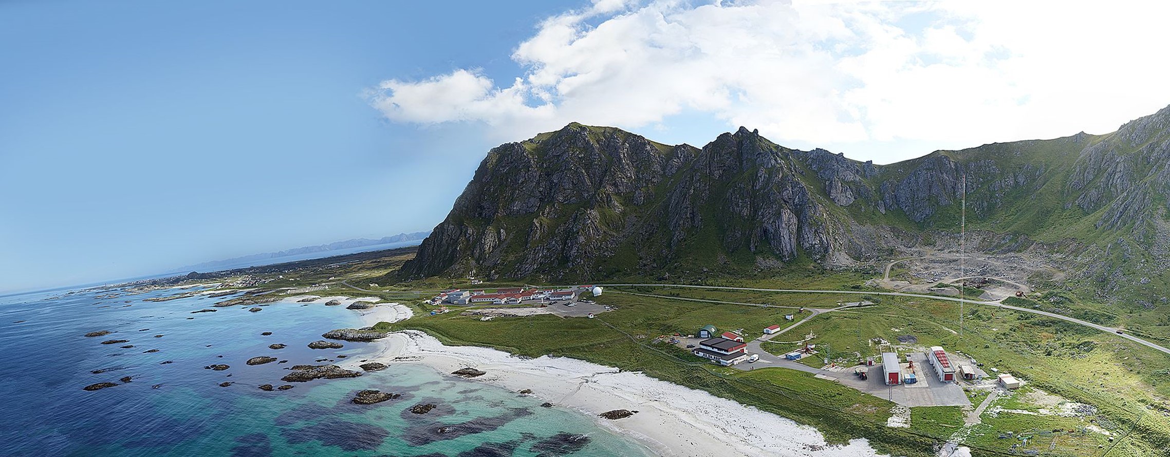
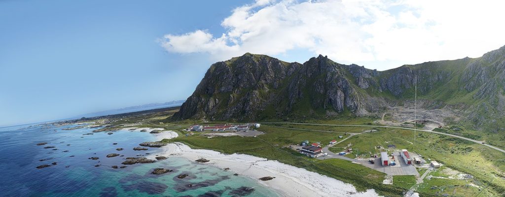
The prestigious Andoya Campaign Phase 1 will take place between August 18th to 25th, 2021 at the Andoya Space test range, located in Northern Norway, with over 24,000 km2 available for demonstrations of advanced technologies and concepts of operations of multi-platform missions. The range is instrumented to provide independent tracking capability for assets under test, various communications systems to support asset interoperability, simulated and real targets for remote sensing detection, and support for large area maritime and land-based exercises.
This campaign includes demonstrations of maritime surveillance, mission center operations, advanced unmanned aircraft and surface vessels, voice-controlled detect and avoid systems, modelling simulation analysis of concepts of operations, and other technologies. Recognizing that COVID-19 challenges may restrict some travel options, both an in-person and virtual experience will be available to the invited guests. Phase 2 will be held at Odense, Denmark during October 11th to 14th and will be open to visitors.
Maerospace is proud to be a supporting member of the IDG, a multi-national collaboration among several Arctic nations and world-leading innovators working in advanced technologies for the polar-regions. The objective of IDG is to develop and commercialize the IRSA solution as a service for safety and security in the Arctic. The IDG collaboration is facilitated by Boeing through a strategic alignment of industrial offset programs in Arctic nations. The result is an agile consortium that contributes highly innovative components to IRSA and can respond cost effectively to a wide variety of customer requirements.
LOOKNorth selected Maerospace as a leading Canadian Subject Matter Expert who can enhance the IRSA maritime surveillance platform in several areas including Artificial Intelligence, Nowcast™ S-AIS data, and the access to reliable, quality remote sensing satellite data.
Maerospace Corporation was founded in 2013 to provide accurate and more complete real-time, global maritime intelligence and awareness to governments, agencies and maritime companies. Our AI and predictive analytics products are dedicated to turning Big Data into actionable intelligence. Our TimeCaster™ third-generation analytics engine applies proprietary algorithms to Satellite-AIS, AIS, radar tracks and other sensors to produce time-synchronized vessel locations, increasing the accuracy of S-AIS from greater than 120 nautical miles to less than 4 nautical miles! TimeCaster™ is available, as delivered, as a software solution or as a direct secure data feed. This technology is integrated in our PASE™ radar systems to enable automatic, real-time correlation of ship identities with radar tracks over the entire radar coverage area.
- “Gone-Dark” Detection: Alerts when expected AIS reports are not detected
- Doppelganger Detection: Alert when identical MMSI AIS codes “spoof” a location
- Automatic tracking of Doppelgangers to avoid “hiding” ships from AIS displays.
- Supports external 3rd party analytics integration
- Full-featured API integrates with any C2, C4 ISR or viz system
- FutureCast™ employs Machine Learning to predict a route to a destination; not just dead reckoning!
- Combine Multi-sensor Data Sources: Increase track display accuracy by merging vessel identification from Earth Observation Satellite imagery with Timecaster™ locations
- Verify vessels and display in less than 60 seconds!
- “Backtrail Queries:” Auto locate vessels of interest in historical EO Imagery in near real-time!
- A comprehensive, live voyage database
- Integration of data with live PASE™ HFSWR radar tracks